Marin County Planning Department
1967-1978
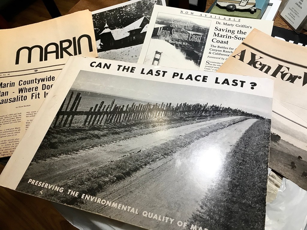
Countywide Plan. Ridgetop logging. Open Space. As Marin County began to grapple with population growth, the ramifications of unstructured land development such as urban sprawl, pollution, traffic, began to come into focus in the late 1960s.
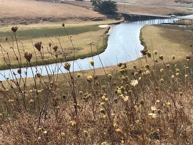
What began to become clear was the result of this situation would destroy the very reason Marin is such a special place: the beauty, landscape, and nature found on its rolling oak studded hills, sprawling family dairy farms and ranches, rugged coastline, and small West County towns.
Developers had already started selling unbuilt condominiums on a ocean facing ridge along the coast, and plans had begun to extend highway 37 west to the coast. Suburban developments were envisioned along this new corridor which would slice through places like sweet little Nicasio.
The framework for this had begun, a West County Plan agreed upon.
Sounds like a irreversible situation, but not to many smart Marin folk from a variety of organizations as well as in the County government itself.
Concurrently discussions were underway to form the Golden Gate National Recreation Area on both sides of the bridge as well as Point Reyes National Monument.
Board of Supervisors had a notable shift towards land conservation and away from widespread development. Marin County Planing Department had (to be continued)
